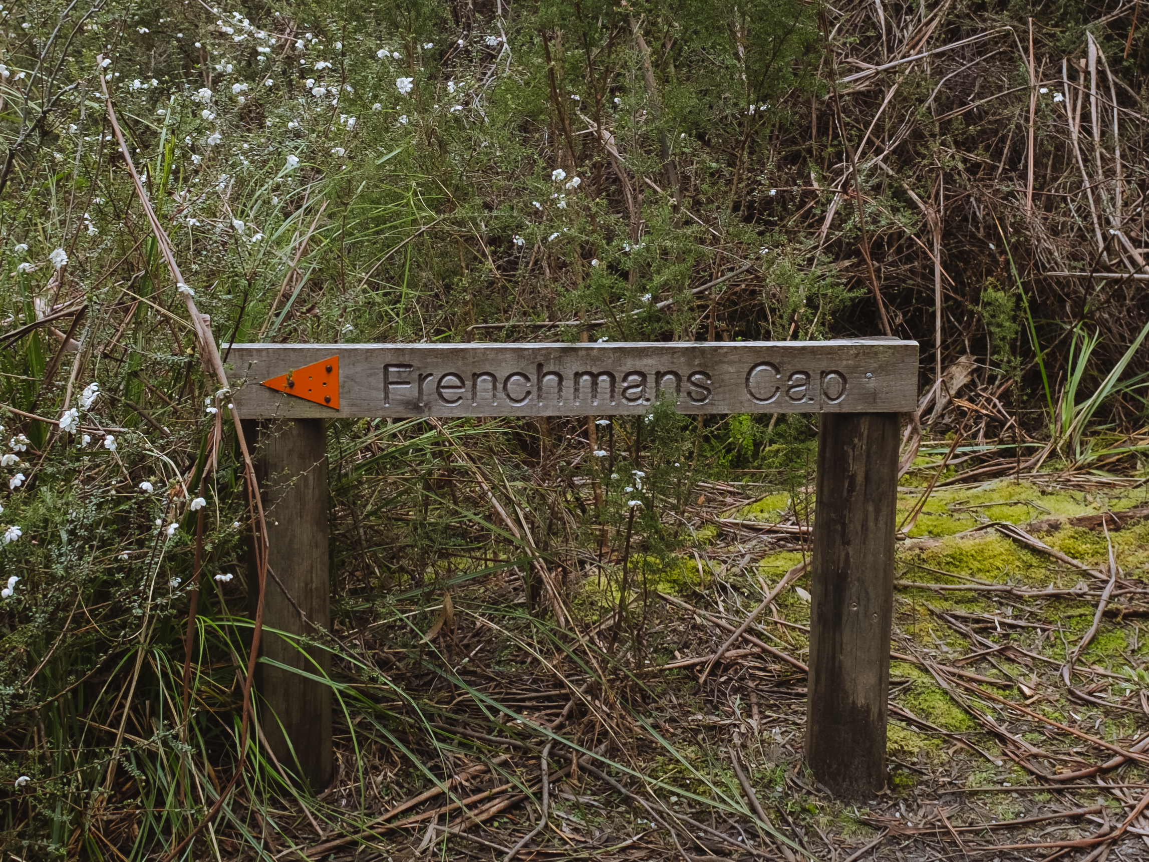
Frenchmans Cap

Deep in Tasmania’s West, Frenchman’s Cap is said to be one of the most challenging, beautifully breathtaking alpine hikes in Australia. With a gradual slope on one side, and a straight 500m cliff on the other, it’s also a mecca for experienced rock climbers, accessing the base of the cliff from other directions. The multi-day hike traverses through Tasmania’s expansive World Heritage Wilderness area.
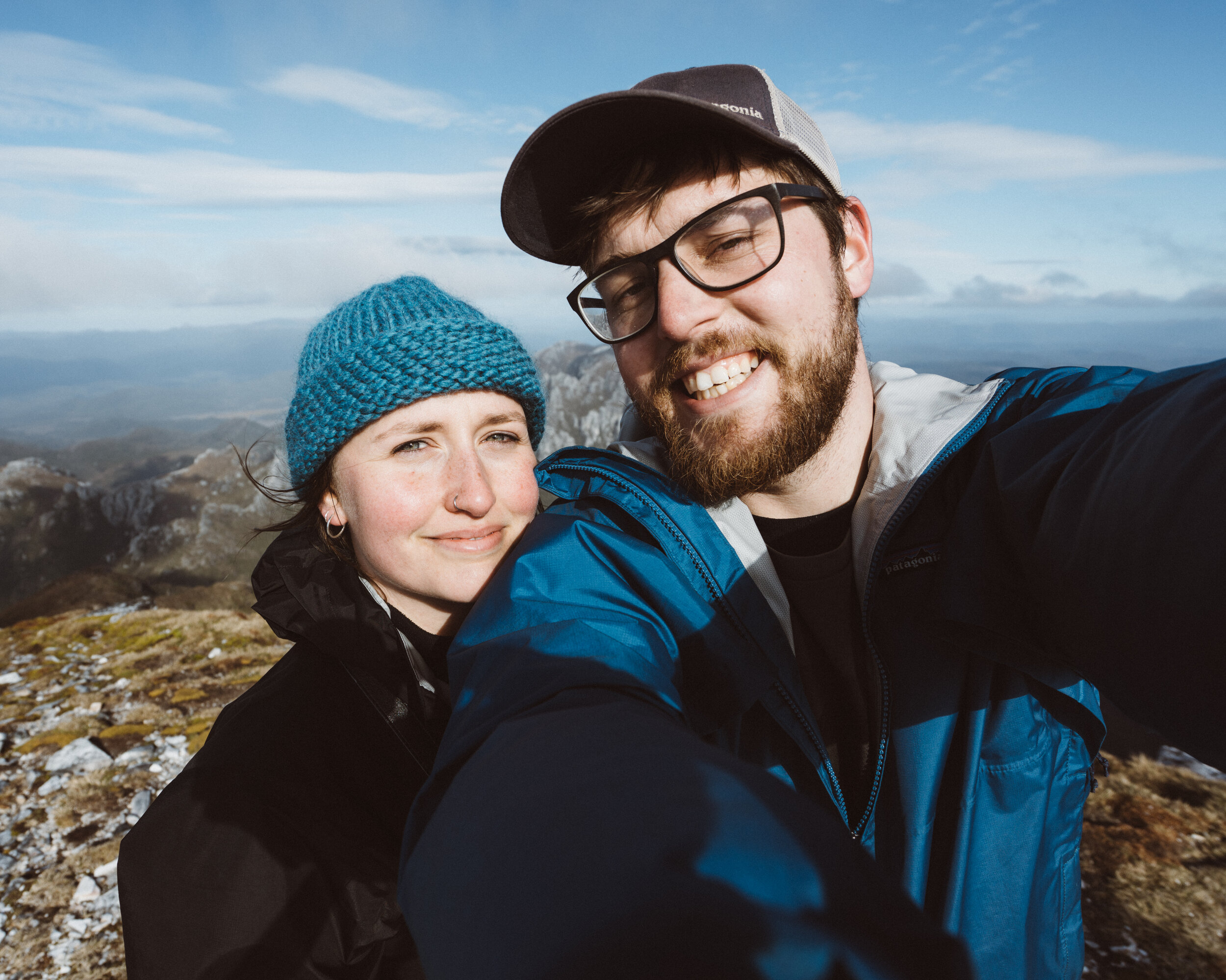
Not long after Brodie and I had moved back to Hobart, we took a drive down the Lyell Highway, stopping at Donaghys Lookout. We walked to the top and had clear views of the distant expanse of the Wild Rivers National Park. I was captivated, spotting Frenchmans Cap underneath swirling clouds. Brodie said “we’re gonna climb that one day yeah?” I laughed and said as if, with a sad feeling of defeat. A few years later and with some tentative confidence after doing the Overland Track, we set the plan in motion.
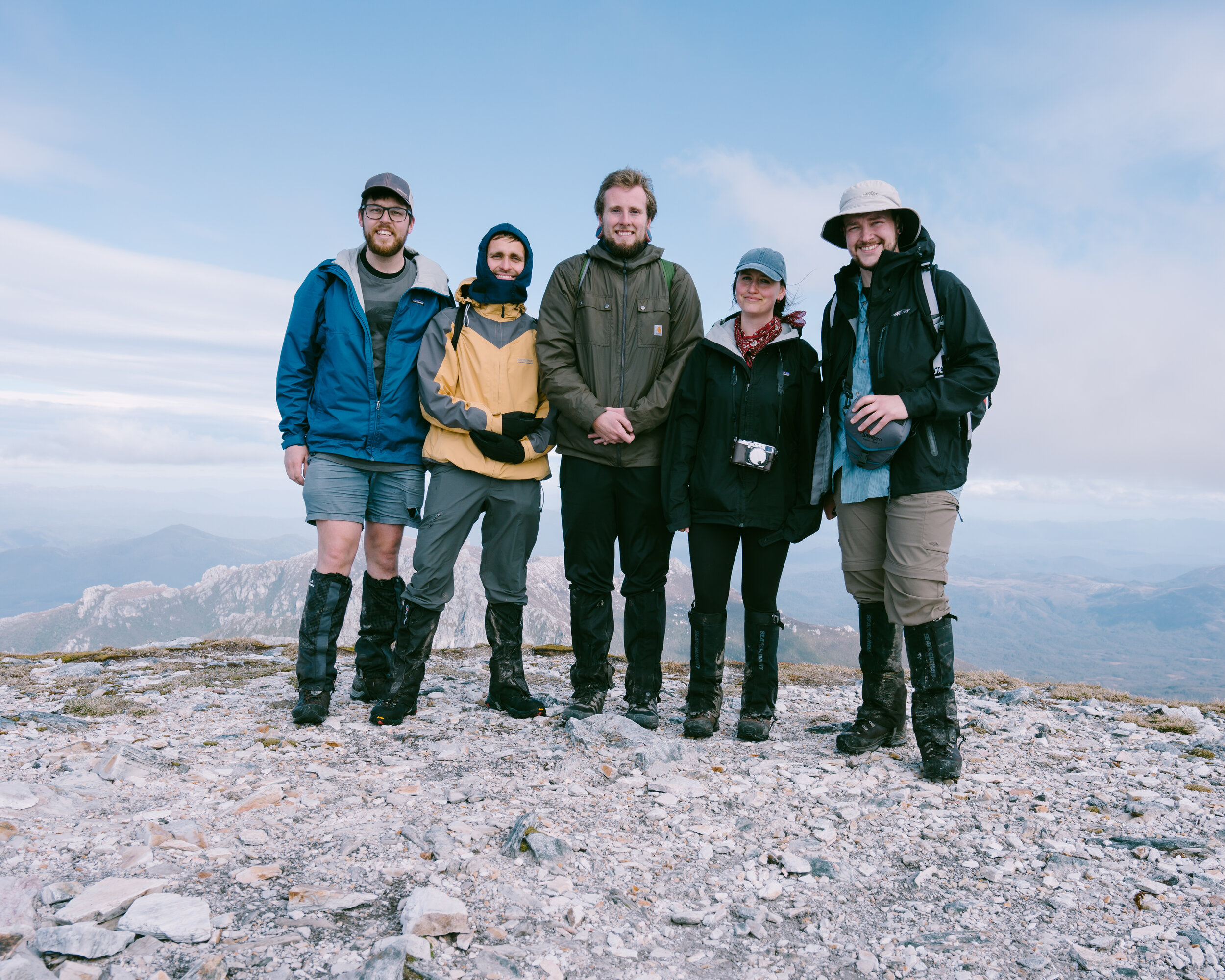
My brother Jayden, and friends Alex and Alex decided to join us, and so began the planning…
Day 1
Trailhead off Lyell Highway to Lake Vera Hut: 14km / 6 hours
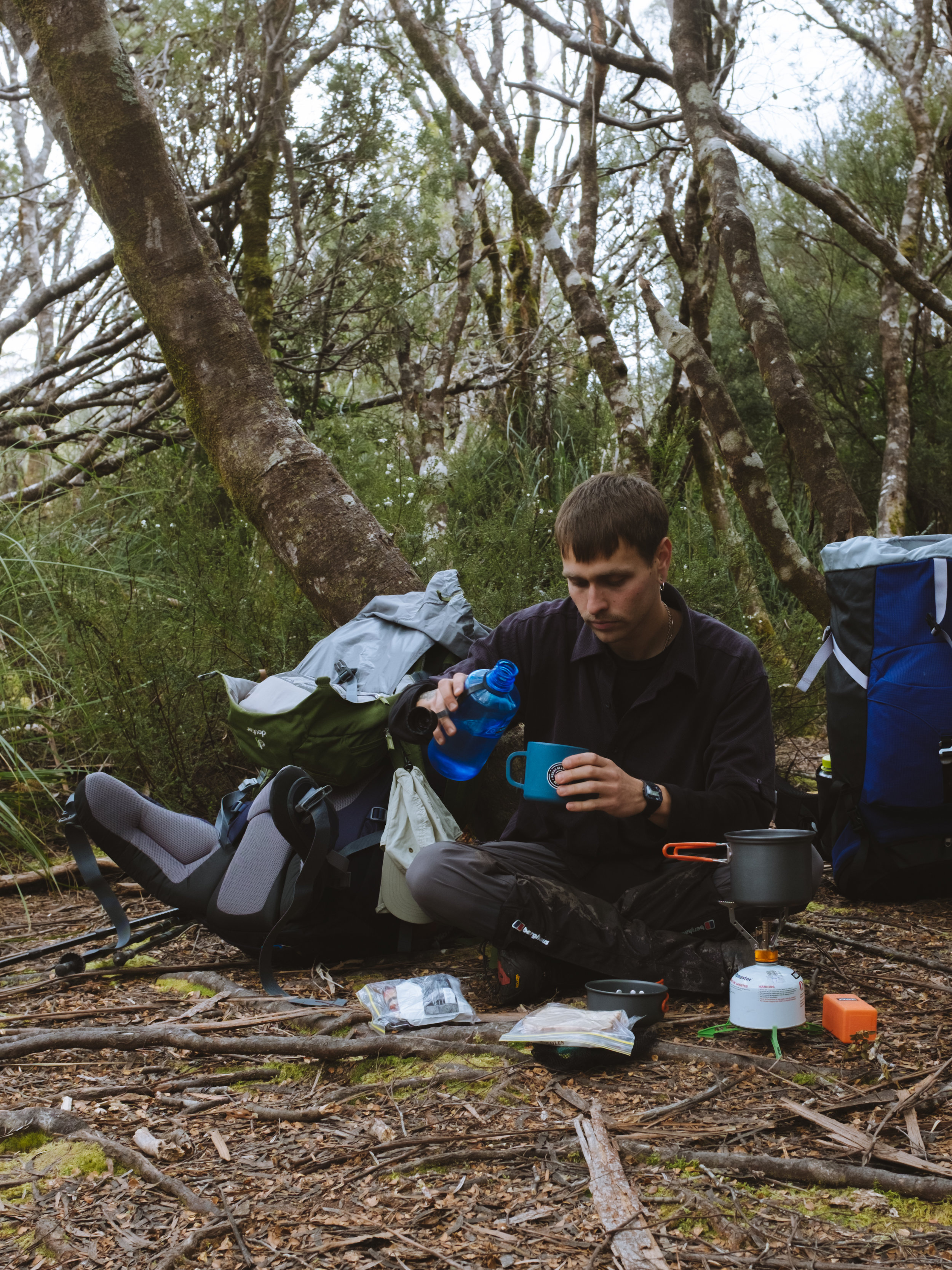
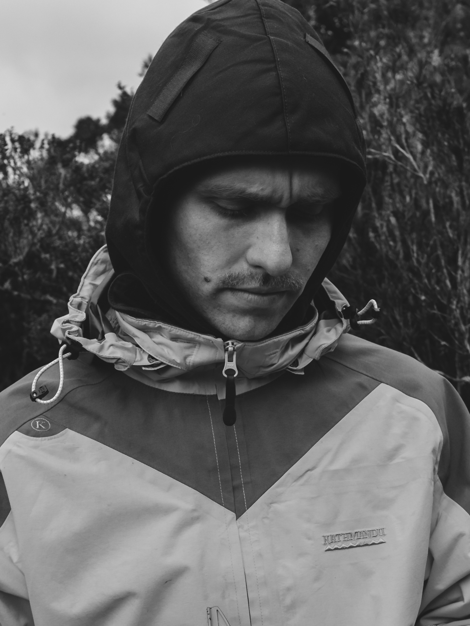
We set off from Hobart early in the morning, leaving our worries temporarily on hold. After a quick snack in the carpark, we put on our gaiters and set out.
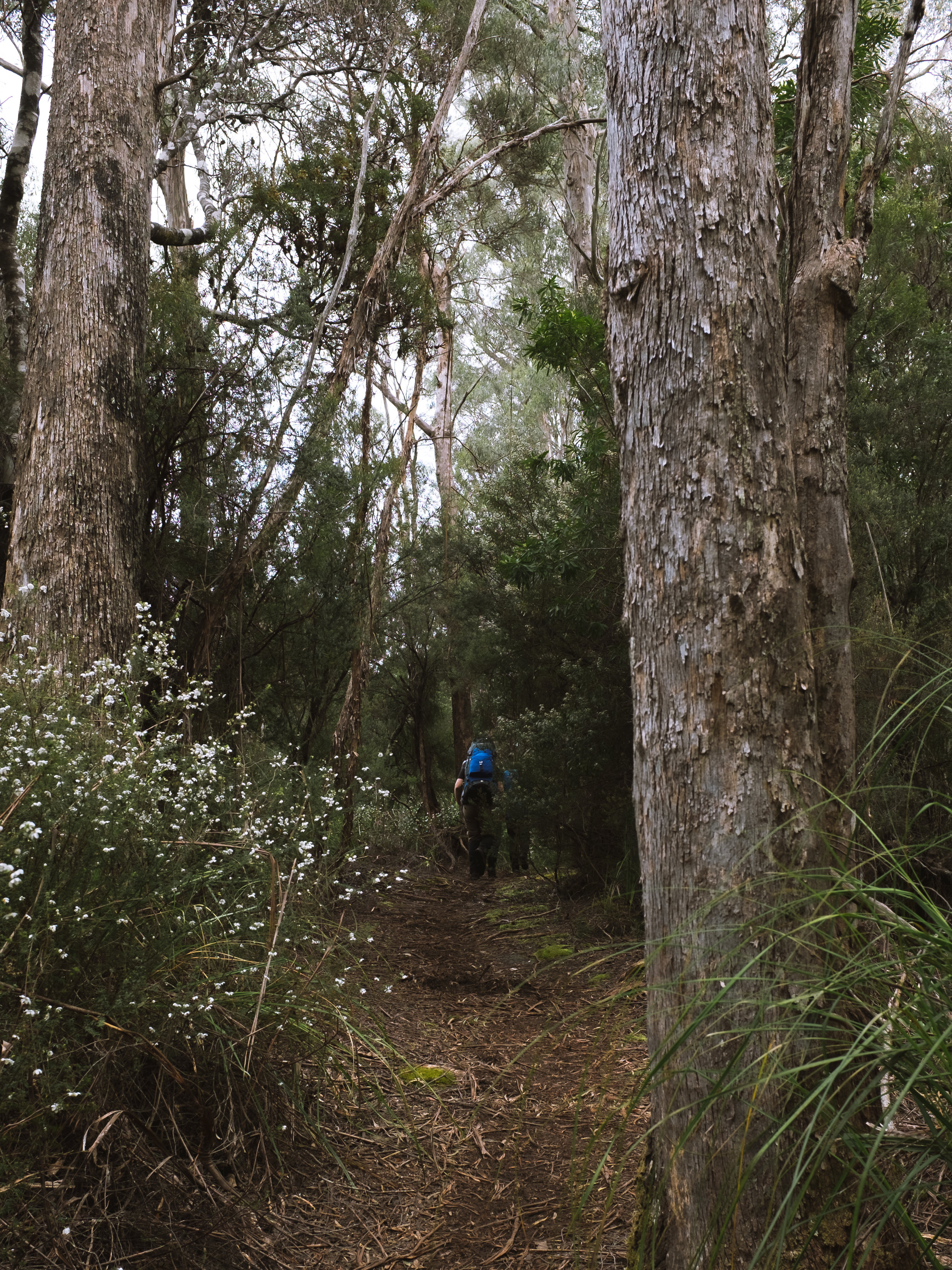
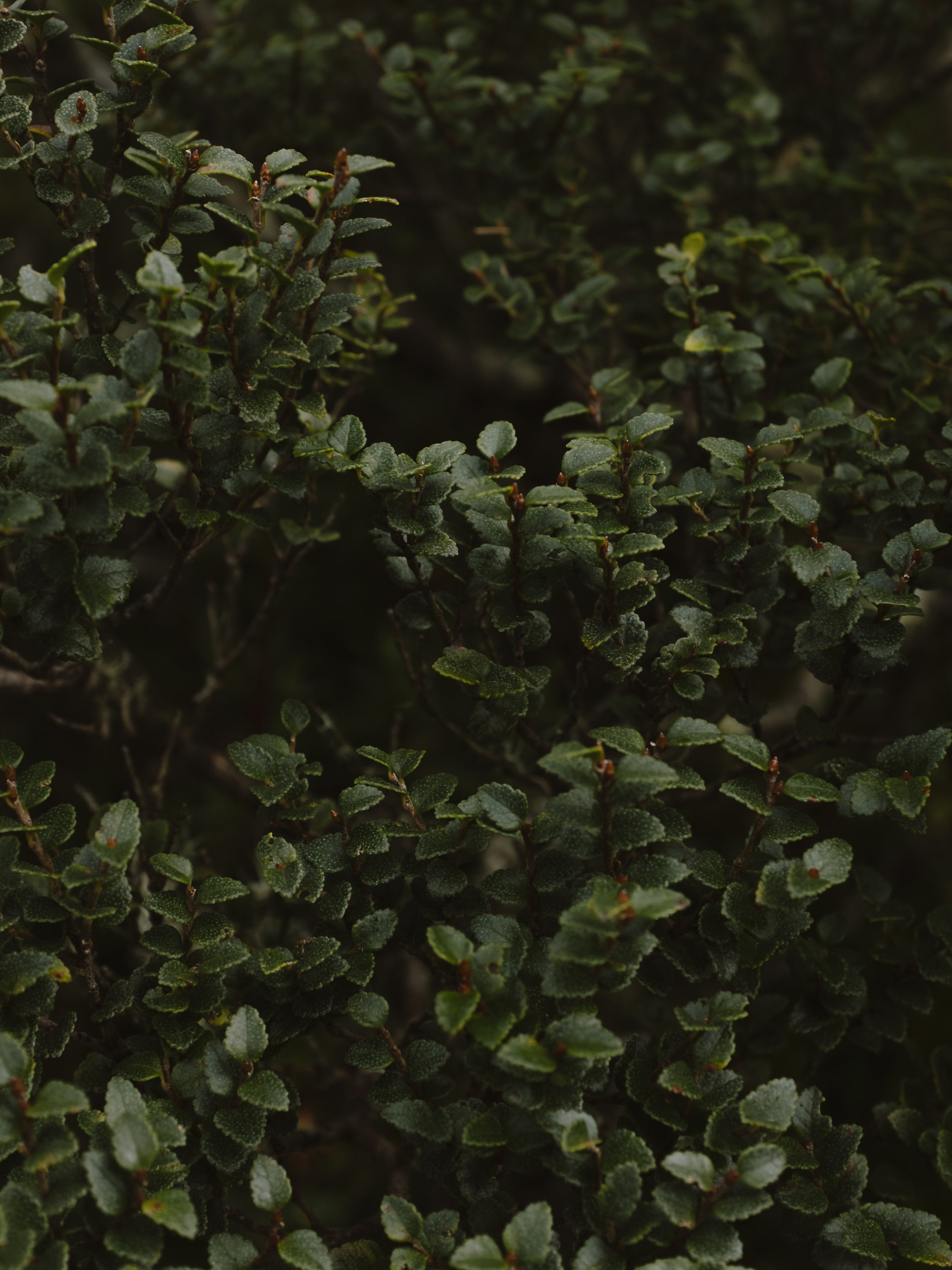
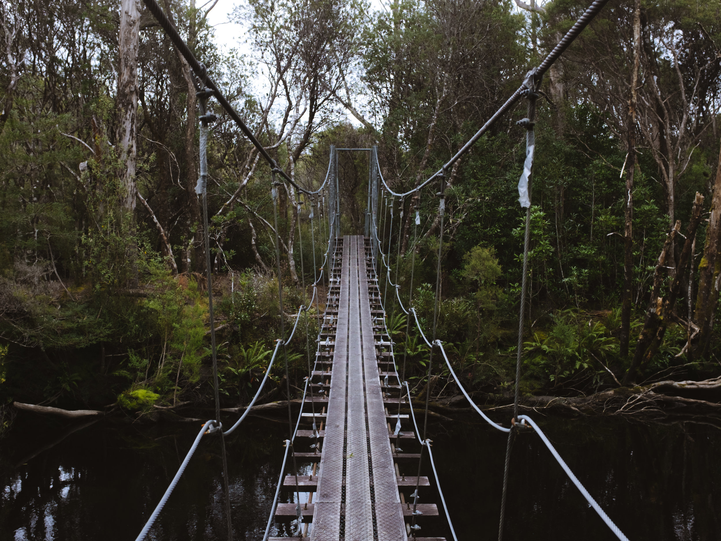
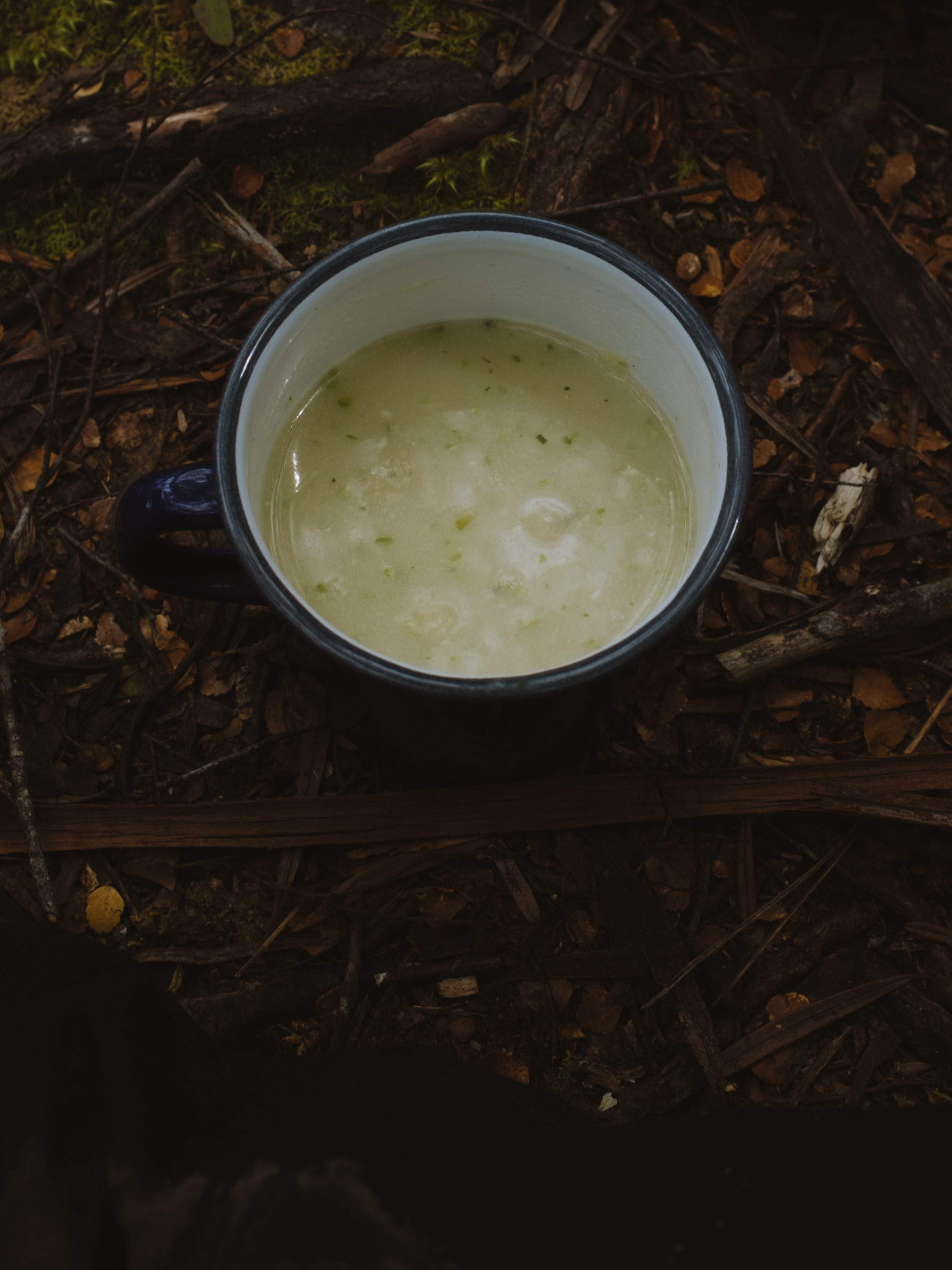
The first day of walking was quite lengthy with much of the track travelling through forest, making it hard for me to get my bearings. Very soon in to the walk, we crossed the Franklin River, and a while after we came to the Loddon river where we stopped for lunch.
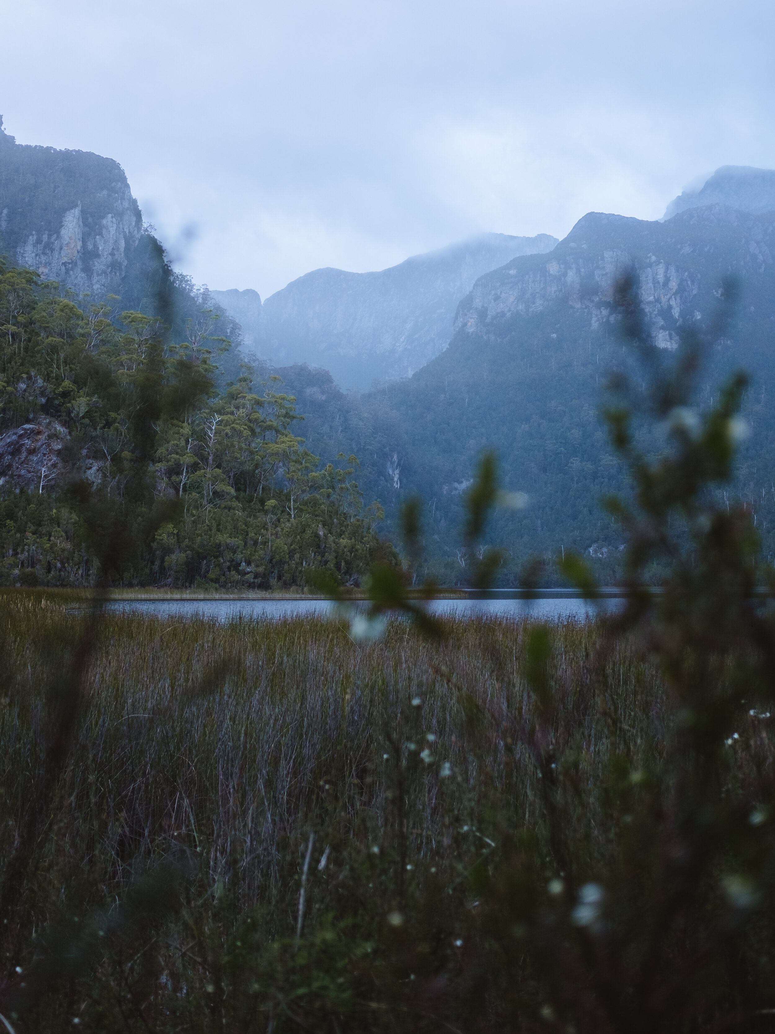
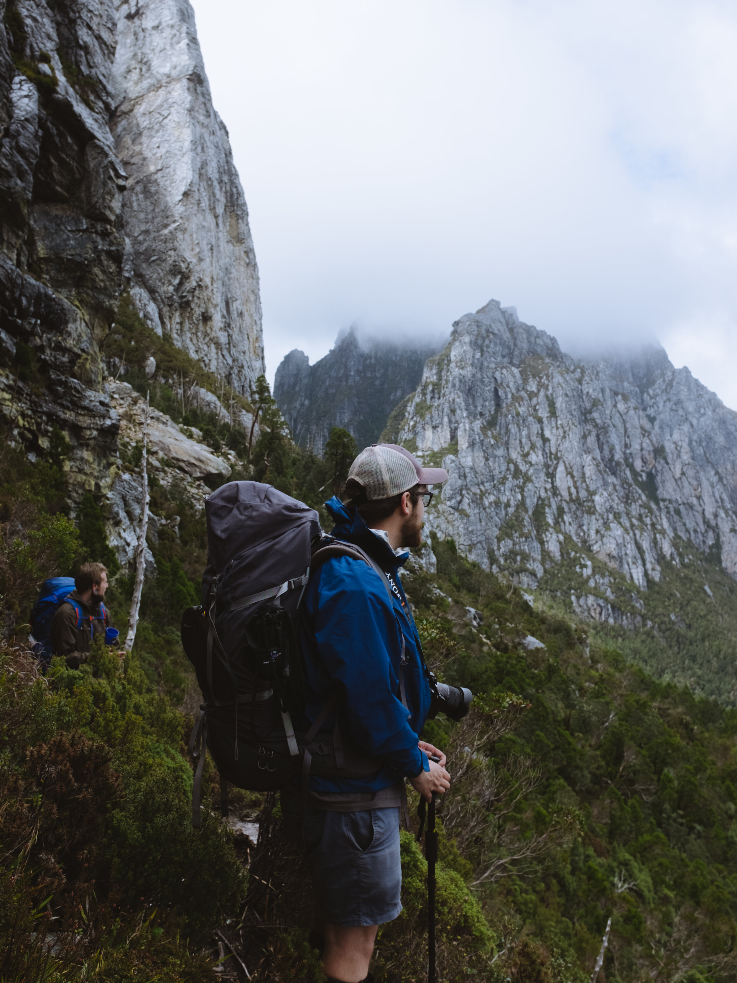
Eventually we caught the first proper glimpse of our destination. Frenchman’s Cap seemed so far in the distance, I felt simultaneously daunted and determined.
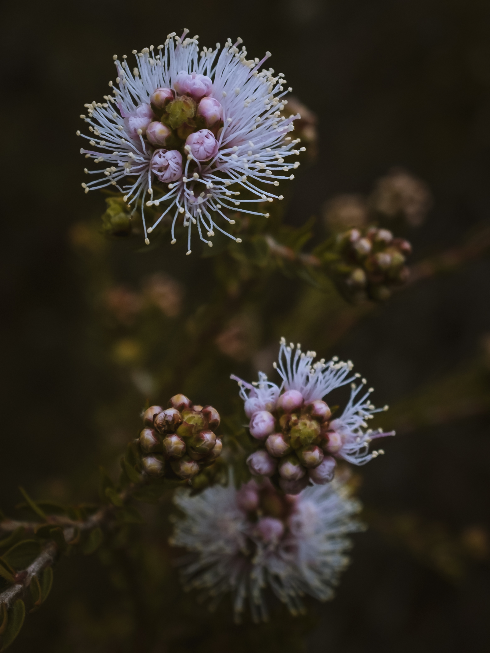
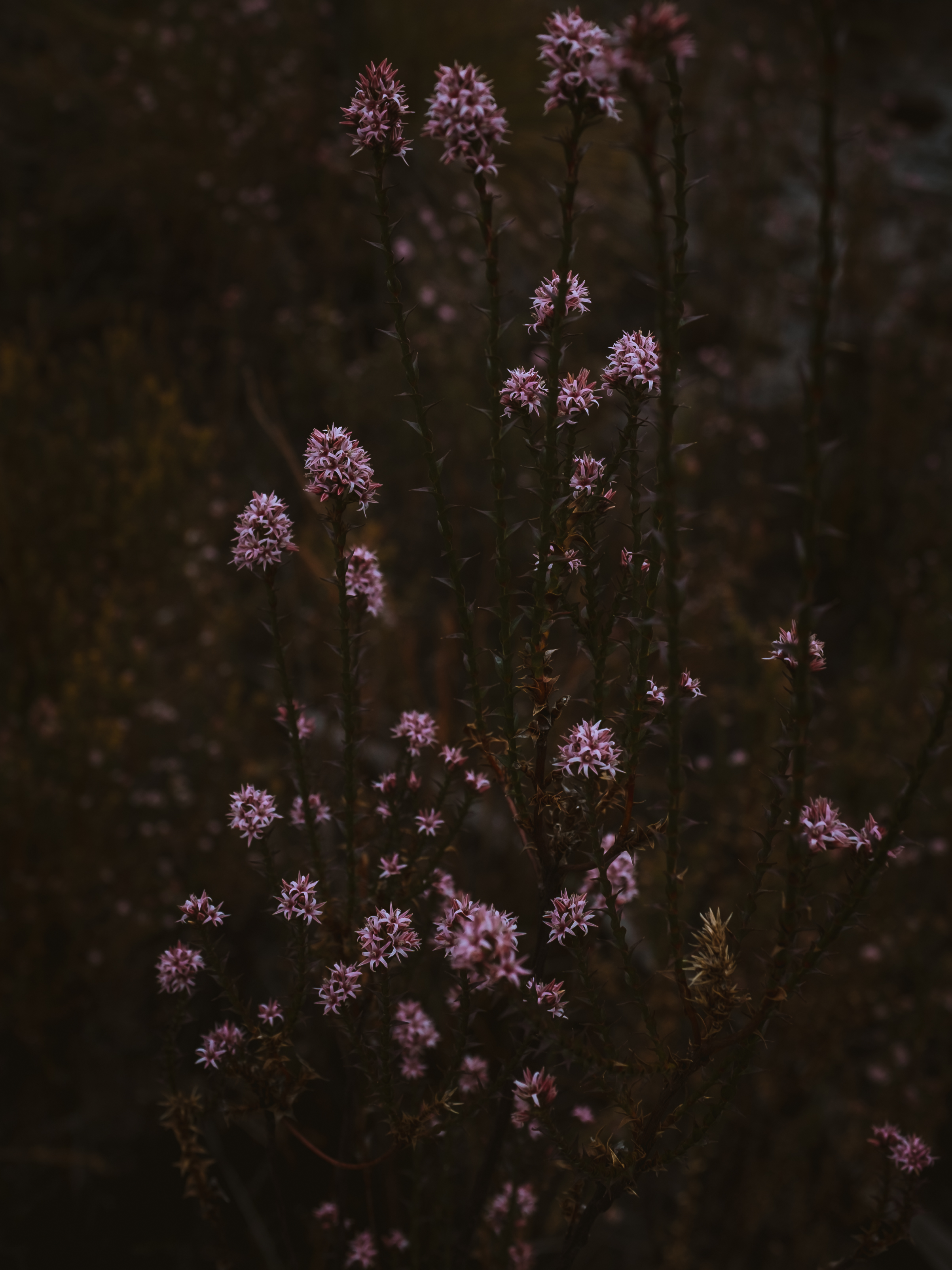
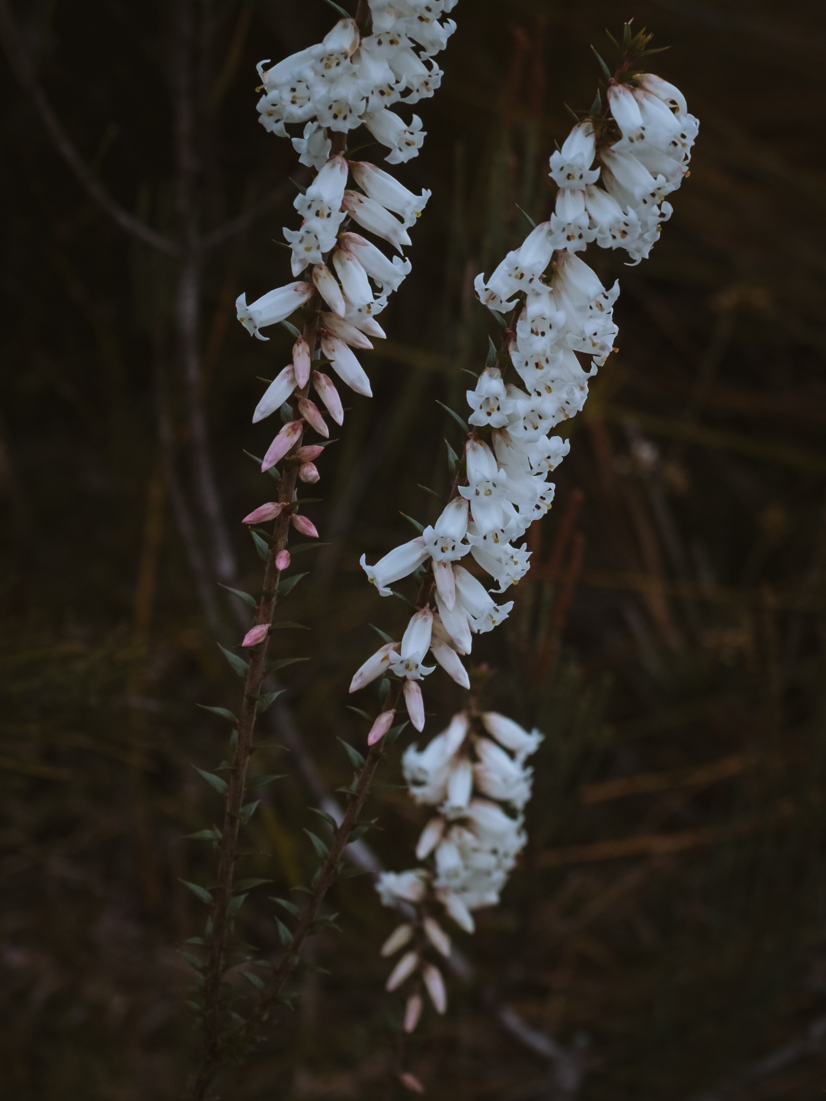
We did this walk in late October and the flowers in bloom made for a slow journey as I stopped to marvel at everything along the way. Just as I was starting to feel like we’d been walking forever, we began the final incline up to Lake Vera. When we reached the hut we made up our beds inside along with a few other hikers, most of whom were on their way back out. A few of them warned us of the strong possibility of reaching the summit only to be greeted with a blanket of obscuring cloud. I quietly came to terms with the fact that I might walk all that way and not see the view, and I was actually ok with that - the journey was just as important. After dinner, we walked along to the edge of the lake to admire the stunning view of the mountain ranges ahead.
Day 2
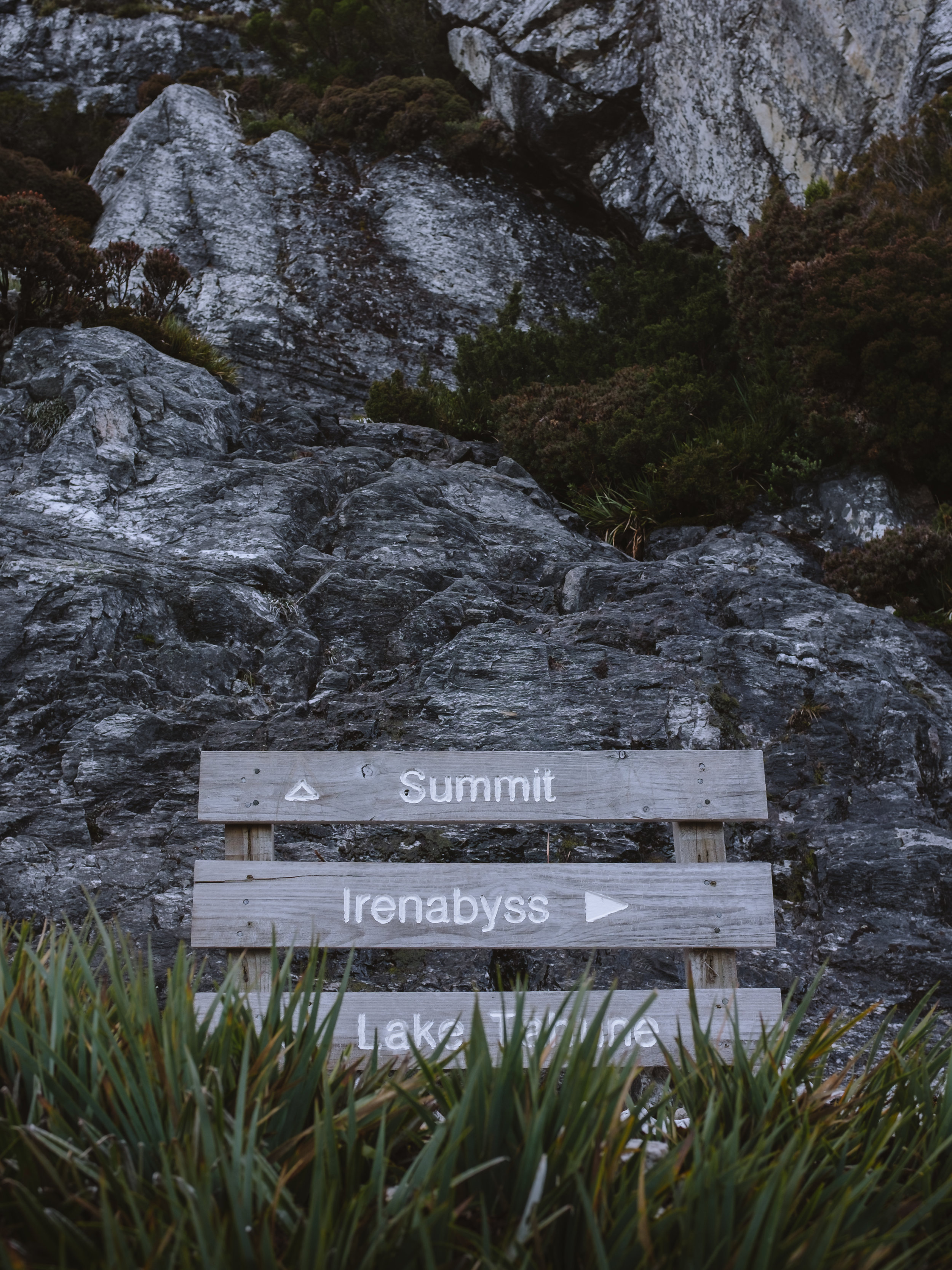
Lake Vera Hut to Lake Tahune Hut: 6km / 6 hours
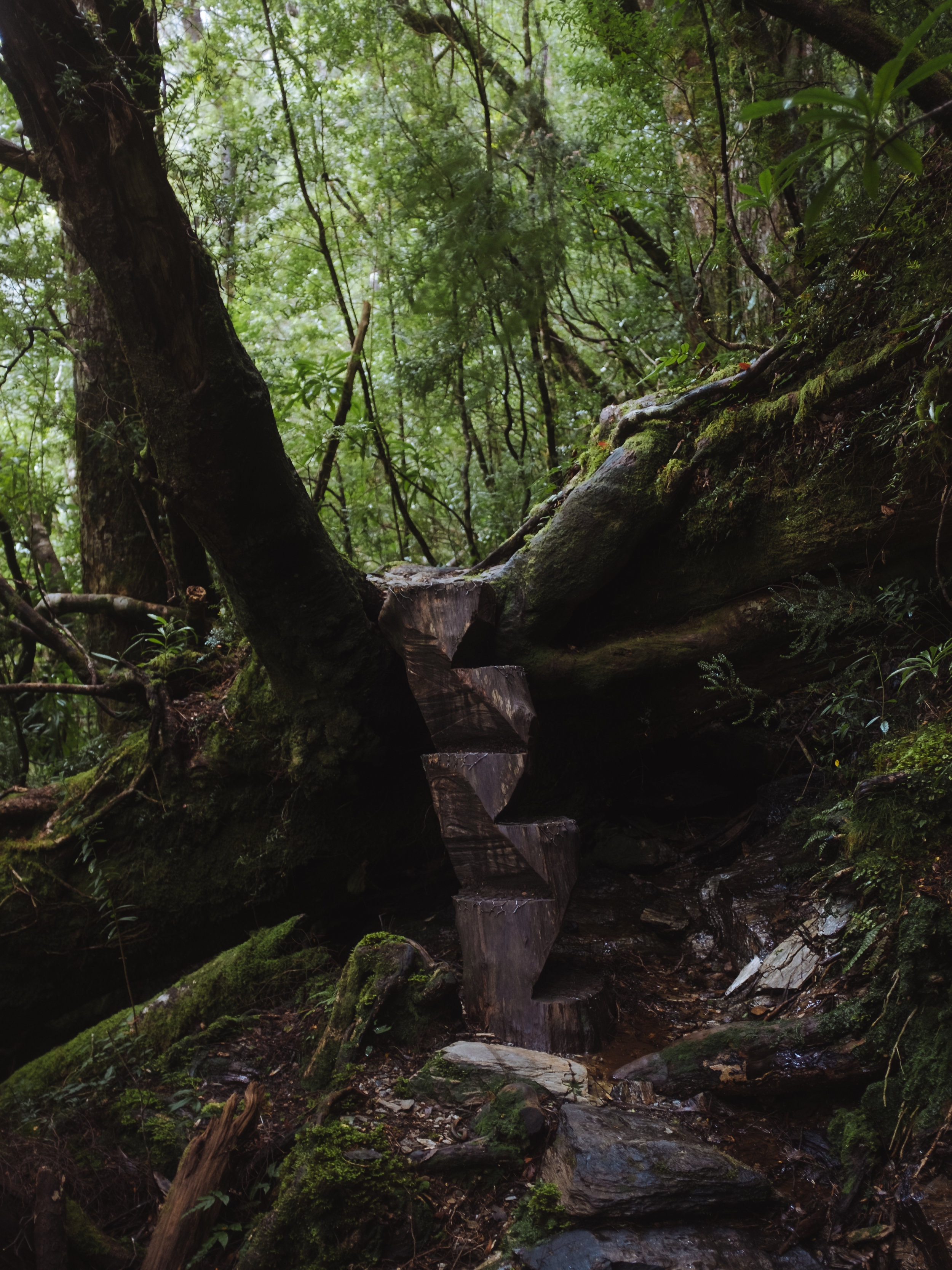
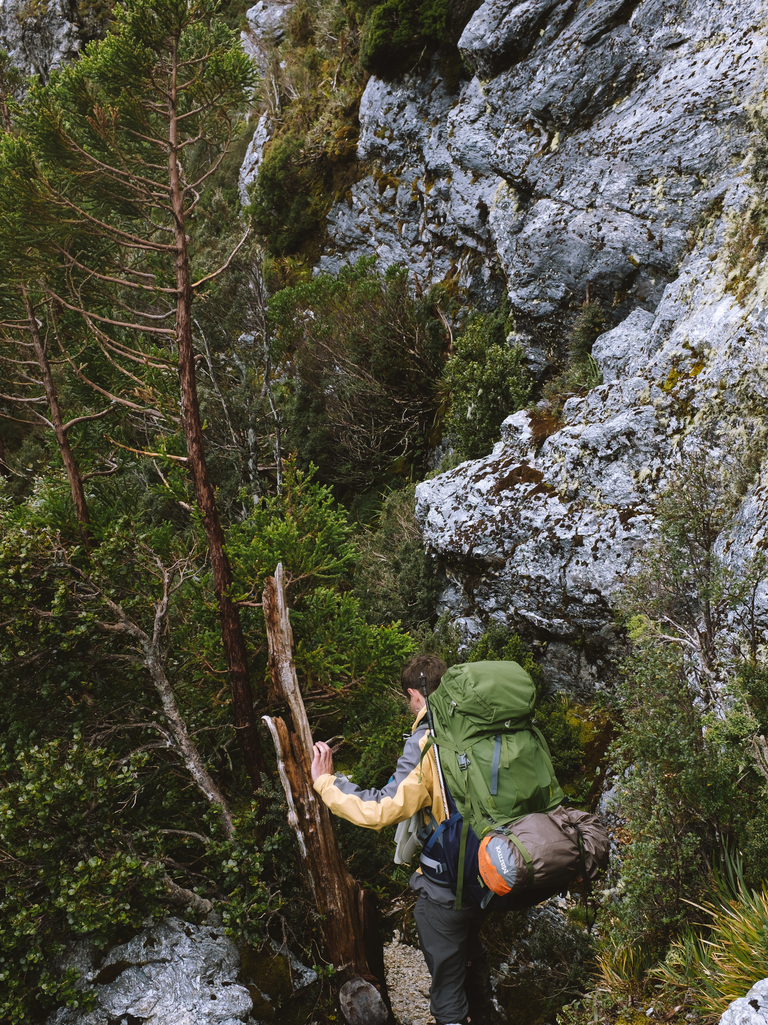
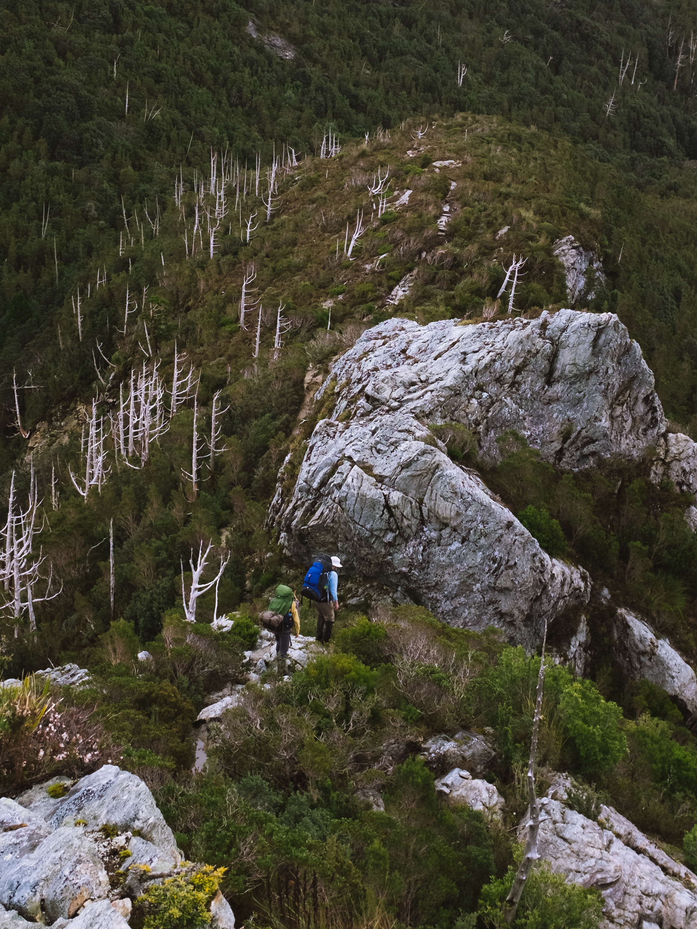
We started off as early as we could, knowing the day would be a long one. I felt nervous about the challenge ahead after being told many times of how relentless the climb up to Barron Pass was. This was definitely the most strenuous day of walking I’ve ever done, physically and mentally. In a very steep 400m climb, we travelled higher and higher through dense, magical rainforest, pulling ourselves up small waterfalls cascading down the track. Beautifully carved ladders made from old logs helped us up some of the tricky bits.
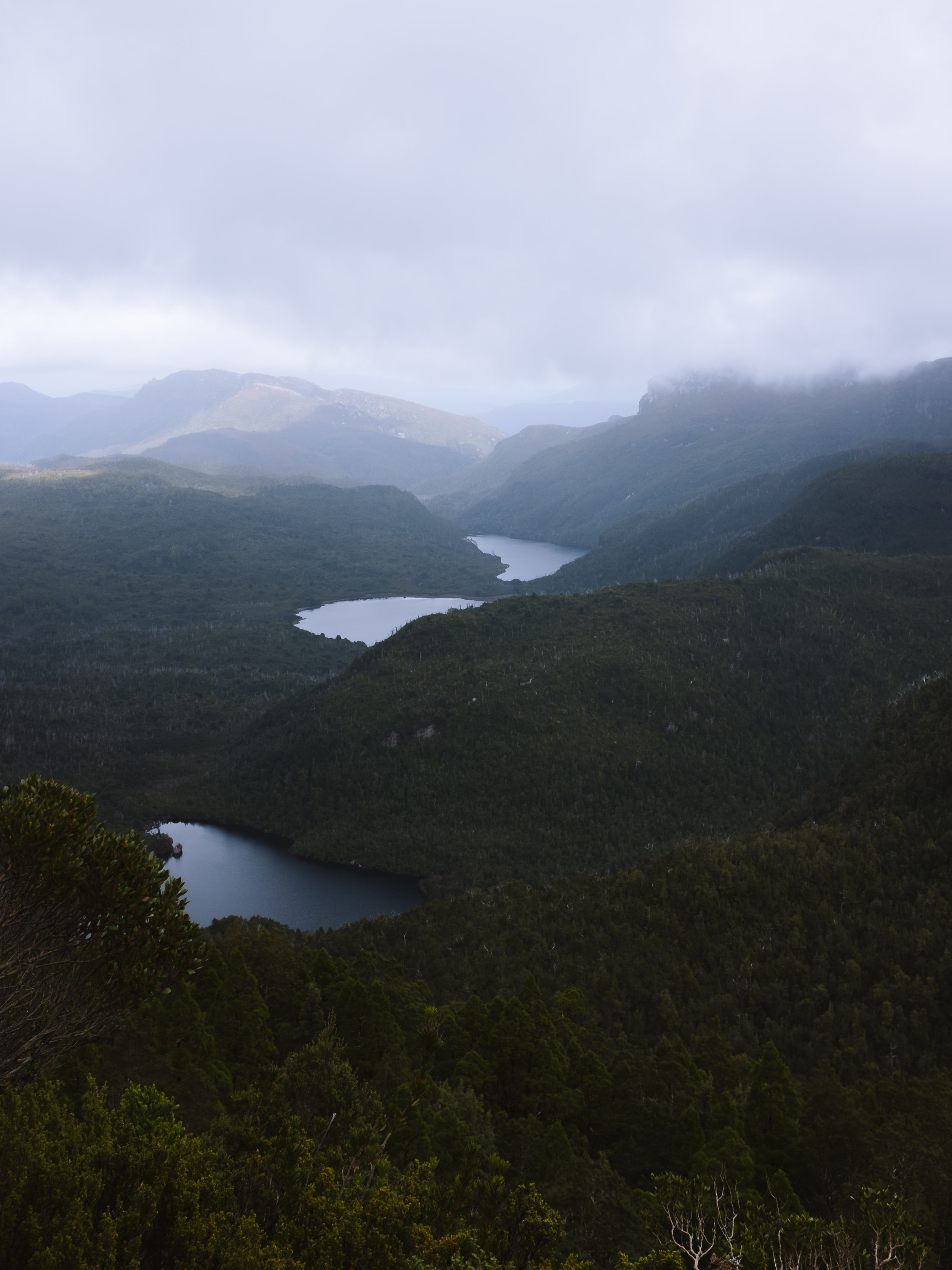
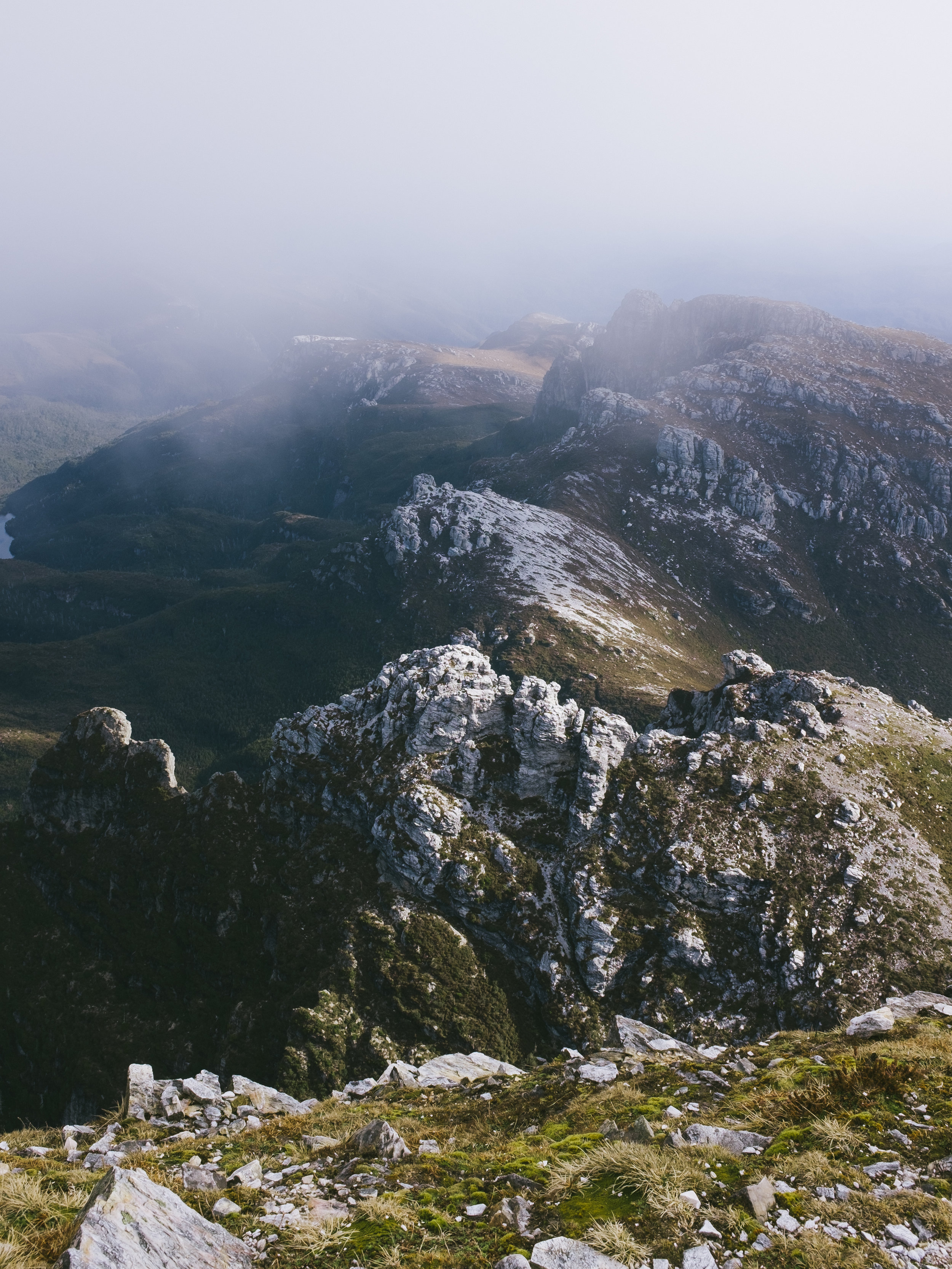
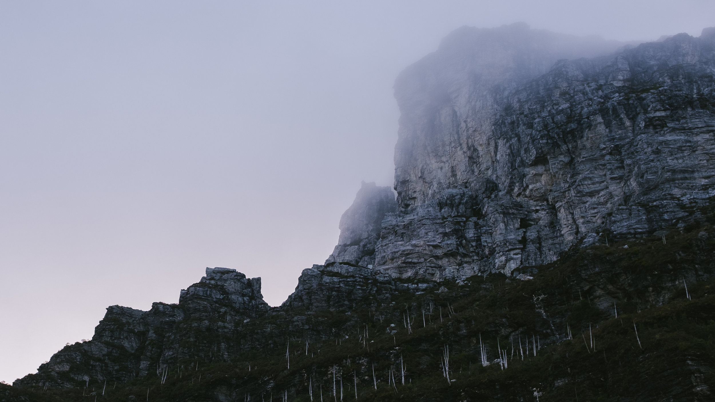
I was starting to feel defeated when the forest ceiling started to thin out and we reached Barron Pass. After being in the darkness of the forest, the view was breathtaking. It was blowing an absolute icy gale and we all tried to huddle amongst the shrubs for a rest.
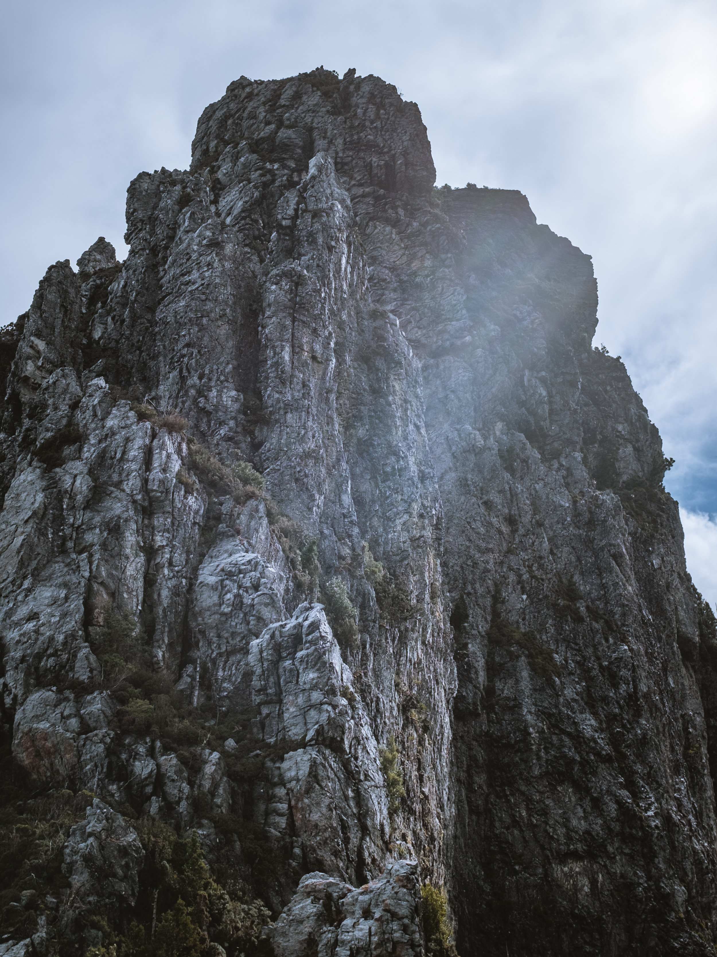
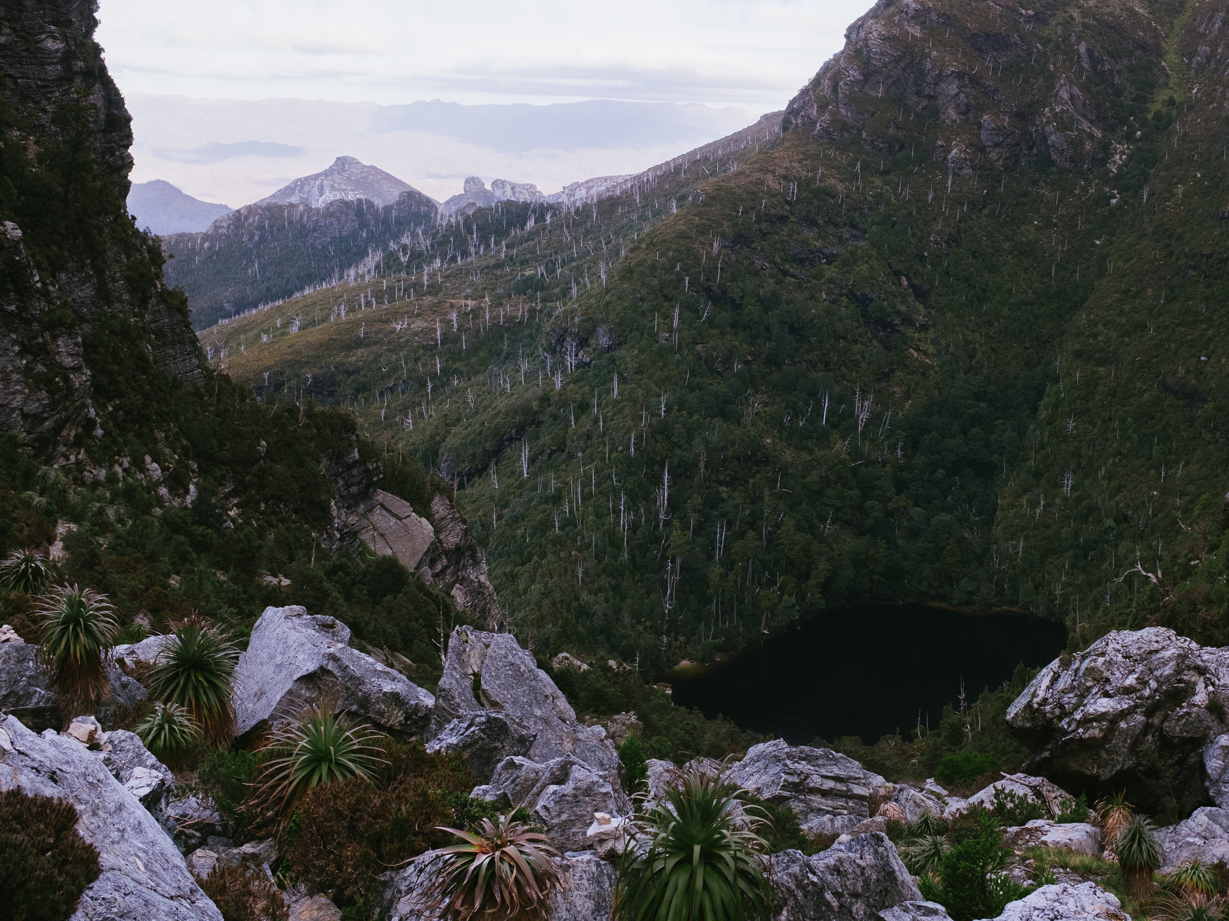
We continued on as showers started to pass over us. The next bit of the track is some of the most beautiful walking I’ve ever experienced. It feels like a surprisingly long way from Barron Pass to Lake Tahune… soon my feet were aching again and Jay’s feet were covered in blisters (despite his boots being well worn in). Reaching the hut at Lake Tahune felt like a huge milestone, but the actual milestone towered above us like a jeering king.


Day 2 continued - The Summit
Lake Tahune Hut to Frenchmans Cap summit return: 3km / 4 hours
I was so exhausted that I forgot to keep moving. I’d just finished making my lunch at snail pace when Brodie said “ready to go to the top?” and I literally nearly cried. We only had just enough daylight to make it up and back, so I scoffed my lunch and onward we went.
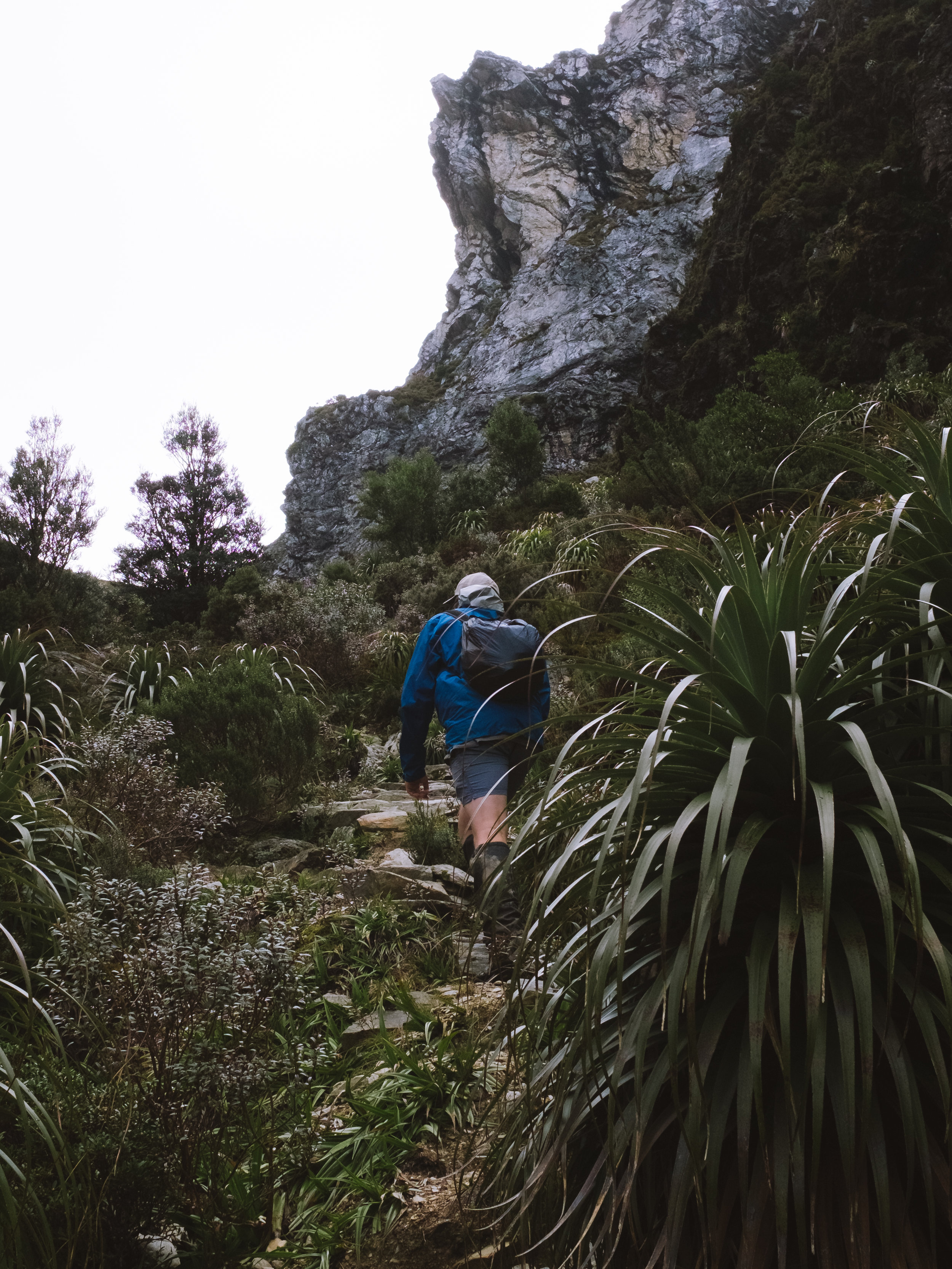
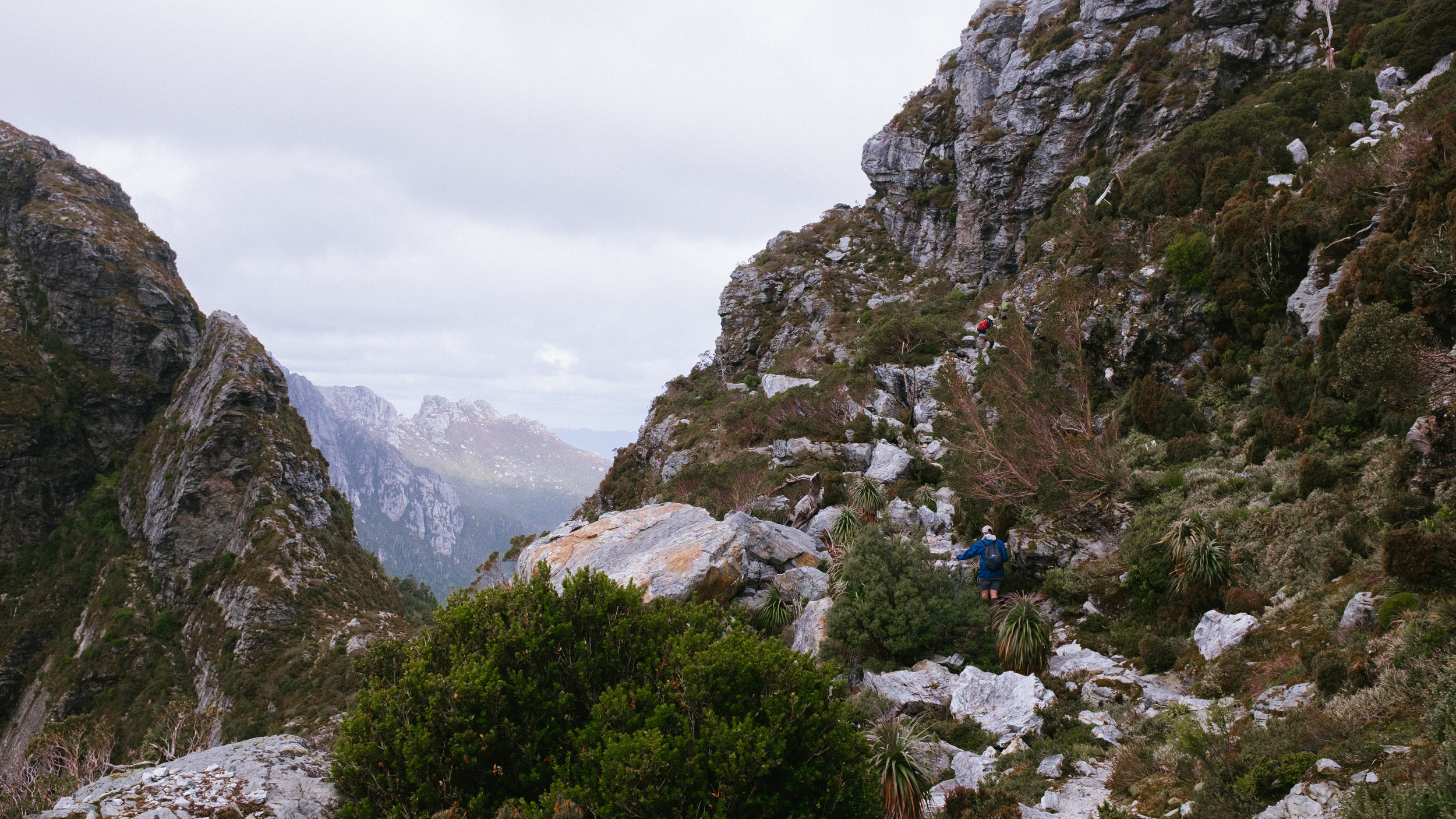
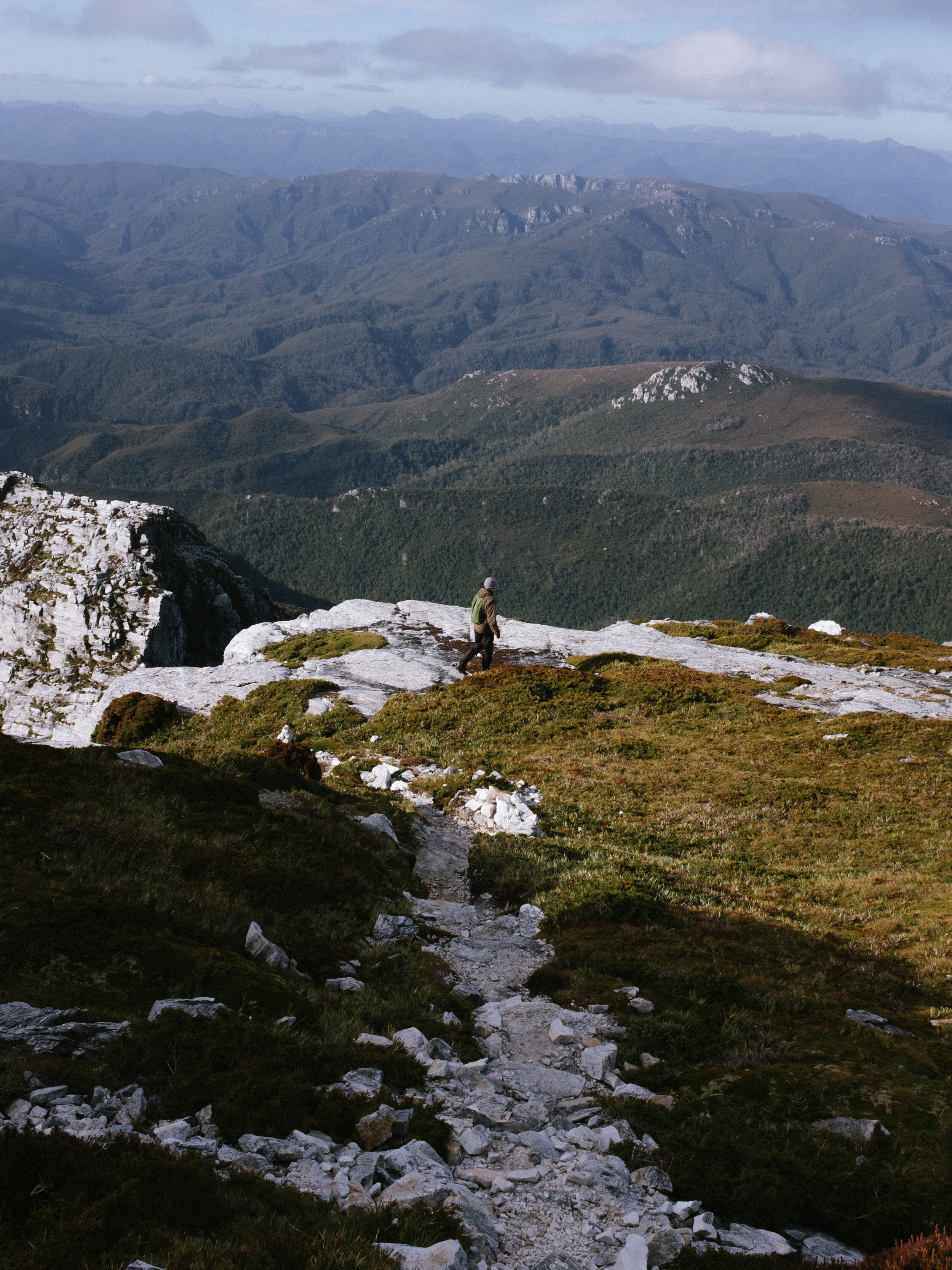
The summit is only 1.5km away from Lake Tahune, but in the form of a steep and treacherous 450m climb. The track ascends steeply up from the lake, and then zig-zags up the side of the peak before a steady climb up the back face. The climb was so much fun I almost forgot how wrecked my legs were.
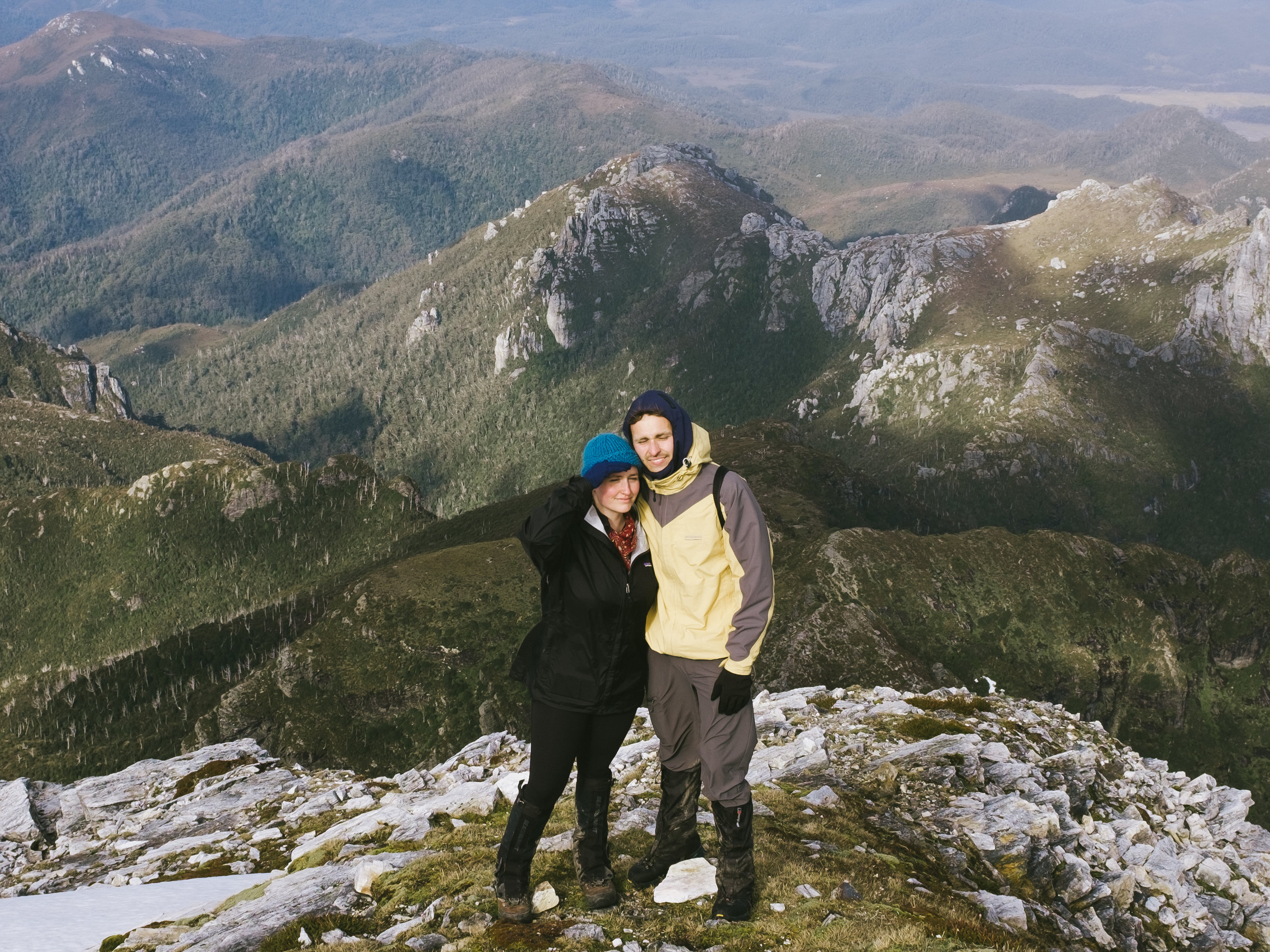
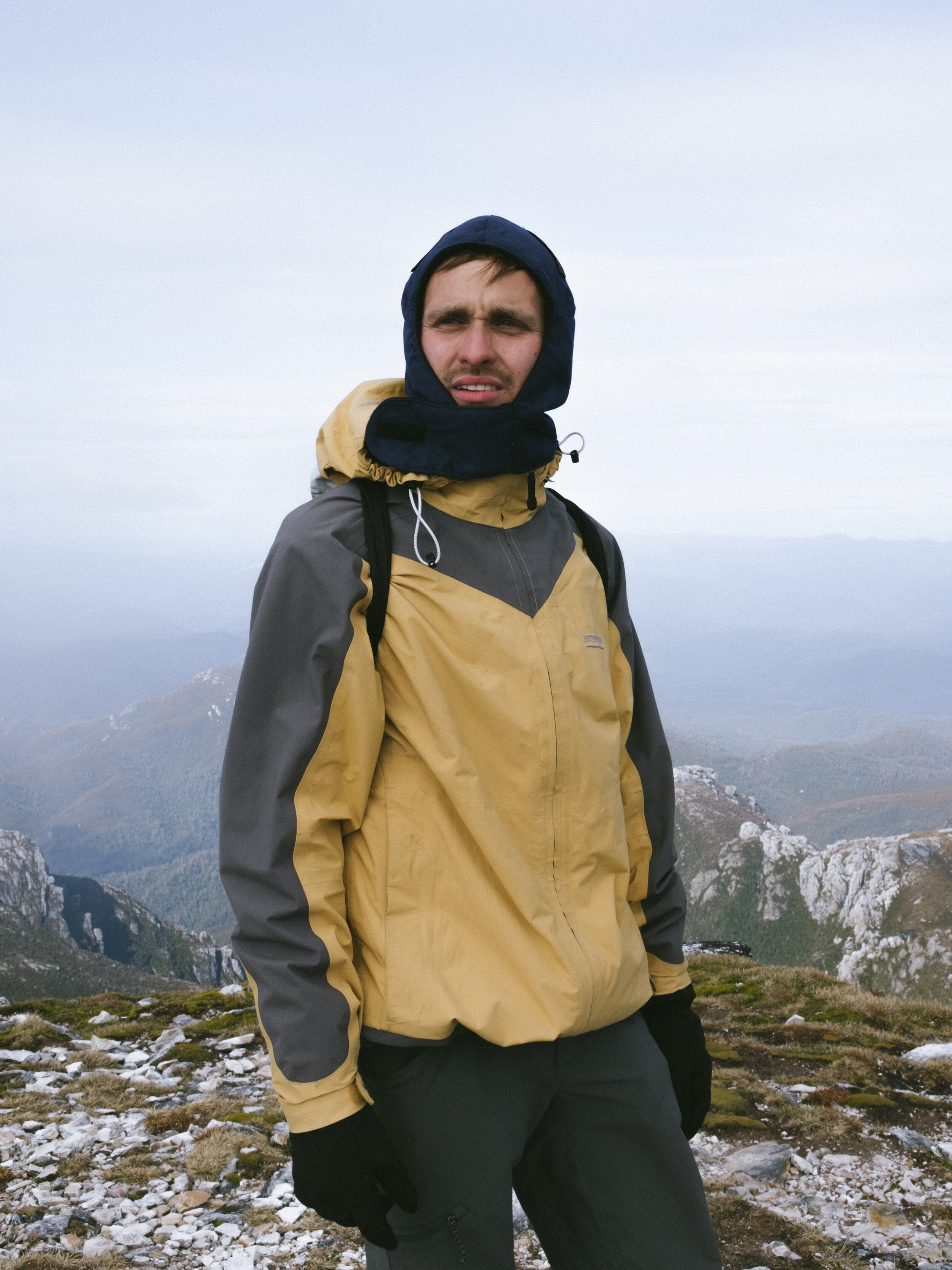
We reached the summit and I felt the lightest I had in a long while, and not for the first time, I cried out of joy from the beauty I was witnessing. I was overcome with gratitude that I was fortunate enough in life to have the luxury and privilege of being there. Exhaustion may also have been a factor in my emotional state…
We explored for as long as we could. Finally the weather started to roll in and we began the careful climb down, racing the storm clouds.
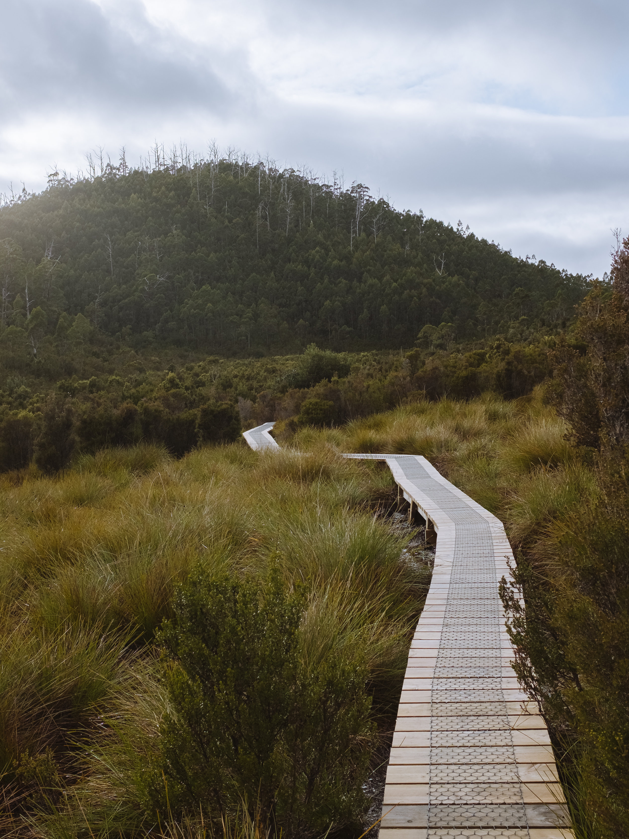
Lake Tahune hut was recently re-built (along with much of the track), thanks to generous donations from Dick Smith, and it’s pretty damn swanky. The track upgrades help ensure that degradation of the environment remains as minimal as possible. A ballot system may need to be put in to place some day to manage visitor numbers. It’s essential, however, that this special place remains free of privatisation like so many other sensitive places facing overdevelopment or being cutoff from public access to prioritise people with the most money. To see this experience monetised beyond maintenance costs would be a tragedy.

Day 3
Lake Tahune Hut to Lake Vera Hut: 6km – 4 hours
Day 3 was REALLY VERY CHALLENGING. We awoke to rain and wind thrashing against the hut from every direction. Going by the last forecast we read, it was to clear by 11am. The two other groups staying in the hut decided to bite the bullet and disappeared in to the wild weather. 11am rolled on by and it was clear the weather wasn’t going to let up any time soon. We layered up and walked out, soggy and bedraggled in no time.
A few hours and few moments of panic later, we reached Barron Pass. It came as a bit of a surprise as given the fog and rain, we couldn’t see too far in front of us and it was hard to gauge where we were. The steep climb down from the pass was so much fun. I spent half of the time sliding on my bum (mostly intentionally), and the other half clutching at tree roots as I climbed down backwards while water gushed in to my sleeves and boots.
Jayden and Alex C reached Lake Vera first, and by the time we met them there the rain had stopped, and unknowingly to us, Alex C had been through the ordeal of an allergic reaction, blue lips and all. Antihistamines had thankfully kept the reaction under control, and when we arrived Alex was returning to normal. Phew!! This is why you ALWAYS DOUBLE CHECK YOU FIRST AID KIT before you walk!!
That night we made a foolish attempt to dry our boots in front of the fire, pretending they wouldn’t still be wet in the morning.
Day 4
Lake Vera Hut to Trailhead: 14km / 6 hours
The walk was beautiful on the last day with everything glistening from yesterday’s rain. At one point we looked behind us to see Frenchman’s Cap in the distance, laughing at how it already felt like an eternity since we were there.
We arrived back at the car mid afternoon and b-lined for the nearest open cafe for hot food and a celebratory beer.
In Summary
Where - The track begins from just off the Lyell Highway, about 200kms from Hobart.
Difficulty - Difficult. This is the most challenging walk I’ve done to date, partly due to the weather. Extensive bushwalking experience is definitely needed! Many sections of the track are steep and some parts treacherous.
Distance - 46km return
Time - 4 days / 3 nights. It’s not recommended to attempt to reach the summit in bad weather as the track could be quite easily lost in heavy fog, and the quartz rock becomes extremely slippery when wet. If I did it again, I’d probably try and allow for an extra day, just in case I needed to wait out the weather to climb to the summit.